The Ría of Bilbao
What you are looking at
From the Casco Viejo to the Abra
- 1The San Antón bridgeThe medieval crossing on the city's coat of arms, rebuilt downstream of San Antón church around 1880.
- 2The riverside walksPromenades along both banks through the center, from the old town to the Euskalduna.
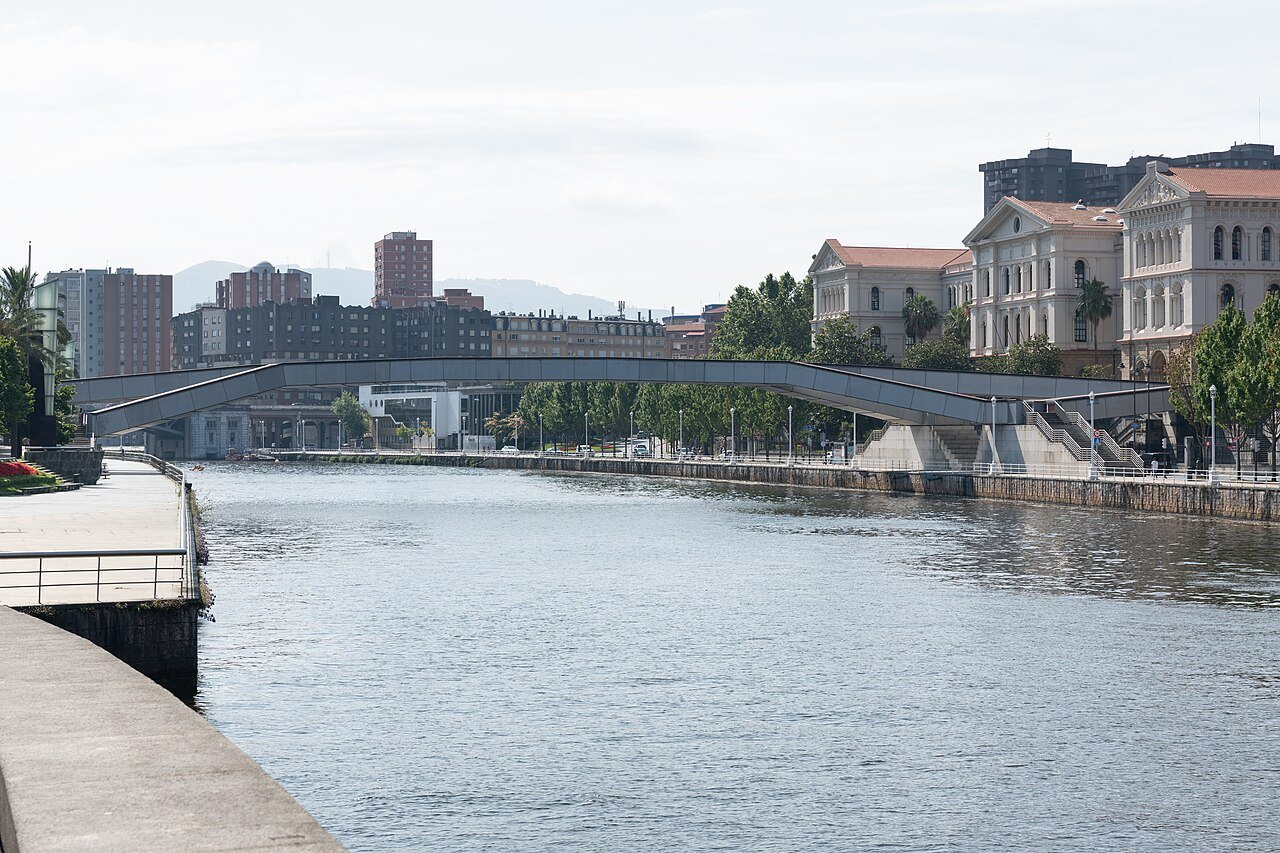
- 3ZubizuriSantiago Calatrava's white footbridge of 1997, curving across the river near the Campo Volantín.
- 4The Guggenheim reachThe stretch where Gehry's museum sits at the water's edge beside the La Salve bridge.
- 5The Deusto canalThe channel opened in 2018 that turned the Zorrotzaurre peninsula into an island.
- 6The river mouthThe bay of the Abra, where the Bizkaia Bridge swings its gondola between the two banks.
Reading the place
The sight in full
Why it matters
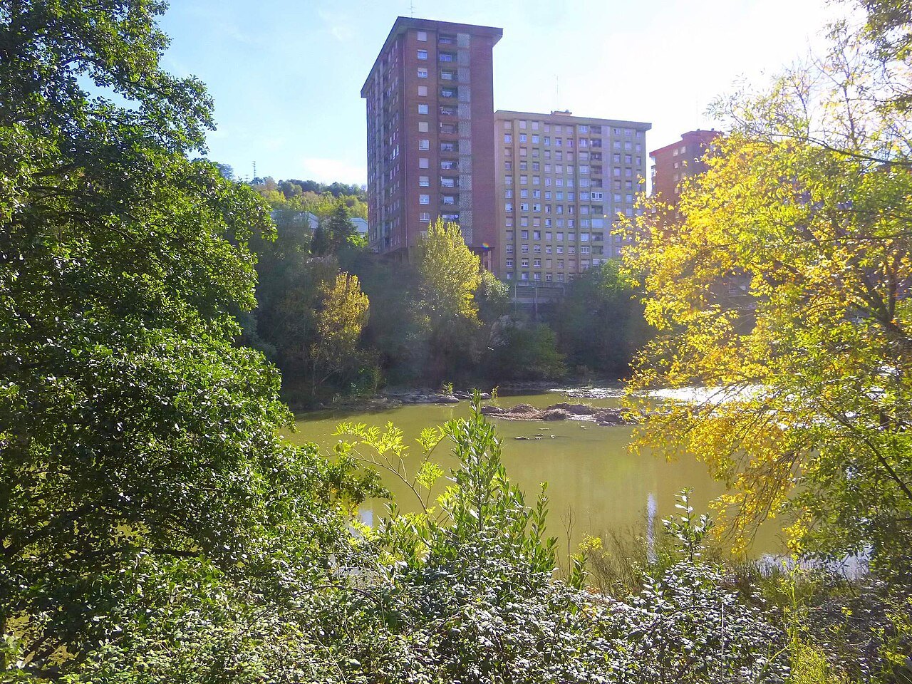
The Ría of Bilbao, Bilboko Itsasadarra in Basque, is the estuary formed where the Nervión and the Ibaizabal, which meet upstream at Basauri, reach sea level, together with their last tributaries, the largest of them the Cadagua. What the Spanish call a ría is, in English terms, part estuary and part tidal river: the tide reaches about 15 kilometers inland, to the district of La Peña on the edge of the city.
Bilbao was born where the river first became navigable and a bridge crossed it, and for seven centuries the city and the Ría have been bound together. It divides the city in two, Deusto, Uribarri and Begoña on the right bank, Abando and the newer districts on the left, and then runs on through the towns of Greater Bilbao to the open sea at the bay of the Abra.
Three rivers, one name
The Nervión rises in the mountains of Álava, where in wet seasons it falls 222 meters over a cliff, the Salto del Nervión, then runs north through the valley that carries its name into Biscay. At Basauri it meets the Ibaizabal, a river of similar flow and length. Some writers treat the Ibaizabal as the tributary, some the Nervión, and others simply speak of the Nervión-Ibaizabal system; the Ría is also called the Ría del Nervión or del Ibaizabal.
Below the city the Cadagua comes in from the west, and further down the Asúa, the Galindo and the Gobelas, each forming a small ría of its own as it reaches tidal water. The origin of the name Nervión is uncertain: some link it to a crag near its source, others to the Roman emperor Nerva.
The river and the port
Bilbao was founded as a town in 1300 and Portugalete, at the river mouth, in 1322. Through the Middle Ages and the centuries that followed, the port on the Ría became the main trading center of Biscay, dealing first with the rest of Europe and later with the American colonies. Its life depended on the last 15 kilometers of the river being navigable, and in the nineteenth century the engineer Evaristo de Churruca carried out the great project of the outer port at the mouth.
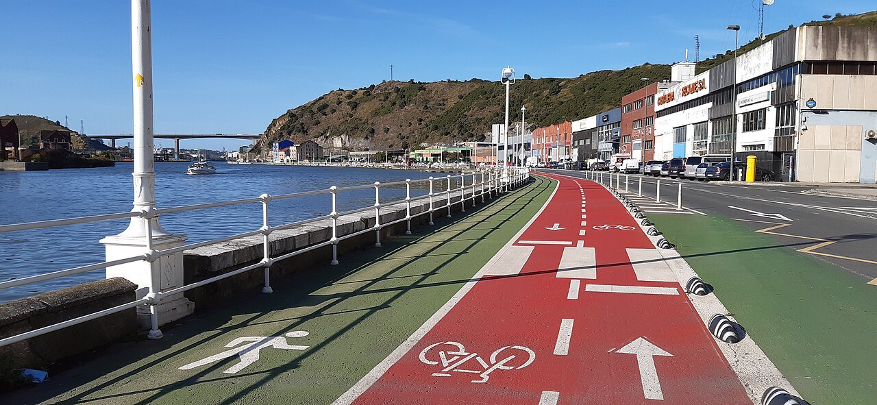
With the mines in the hills around the city came iron and steel works and shipyards along the banks. The left bank downstream became the heart of the industrialization of Biscay, drawing thousands of workers from all over Spain to the steelworks and the yards, while the right bank was where the industrializts built their houses. Today the port has largely moved out to the coast at Santurtzi and Zierbena, and its old upper reaches have been handed back to the towns along the river.
The San Antón bridge
The oldest crossing, the San Antón bridge, existed before 1318 and is thought to be older than the town itself. For centuries it was the only bridge over the Ría, and the people of Bilbao used every legal and even violent means to stop any other bridge breaking their monopoly. It was the obligatory route for the trade of Biscay with Castile, and the old bridge with the church beside it appears on the city's coat of arms.
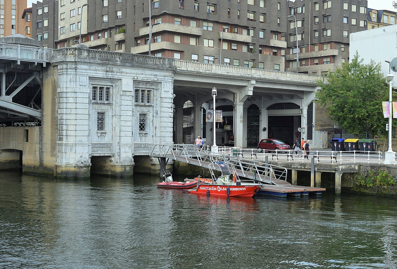
Floods knocked it down again and again, and around 1870 the city decided to replace it. The new bridge, designed by Ernesto de Hoffmeyer and built downstream of the church of San Antón instead of upstream, came into use around 1880; it was blown up in the Civil War and rebuilt in 1937. It stands beside the Mercado de la Ribera, at the upstream end of the riverside walk.
From dirty river to living river
Until the middle of the twentieth century industrial and urban waste was thrown into the river without control, and after a century of heavy industry its oxygen levels had fallen far below normal. In 1978 the local authorities launched a clean-up plan, and from the 1980s sewage works and renewal projects slowly cleaned the water and rebuilt the banks. Oxygen levels have risen to around 60 percent, and fish such as sea bass, sea bream and anchovy, and shellfish like velvet crab and lobster, have come back.
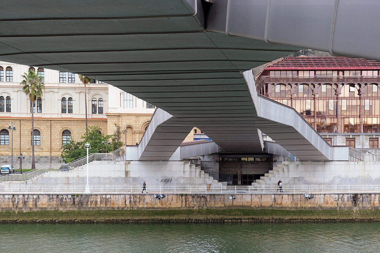
The Ría has become the axis of the city's renewal: abandoned industrial land rebuilt, new landmark buildings set along its banks, promenades laid along its edges. Since 2006 the city has marked 22 June each year as Itsasadar Eguna, the Day of the Ría. The transformation page tells that story in full.
The flood of 1983
Bilbao sits in a meander of the river squeezed between mountains, which has always made it vulnerable to floods. The last severe one came in August 1983, after storms that dropped more than 500 millimeters of rain across much of the basin. On 26 August, in the middle of the city's Semana Grande festival, the Ría burst its banks; the water reached three meters in parts of Basauri and up to five in Bilbao, and 32 people died in Biscay.
What you see
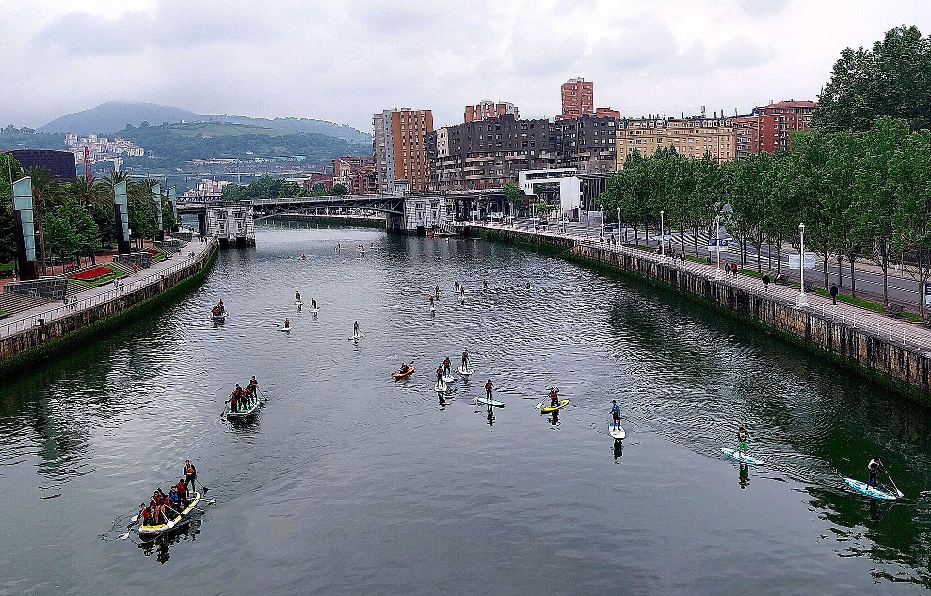
Walk downstream from the old town. On the right bank pass the market, the Teatro Arriaga and the city hall, then the Campo Volantín promenade, crossing on the way under Calatrava's Zubizuri. On the left bank the tram runs along Uribitarte and Abandoibarra to the Guggenheim and the La Salve bridge, then on past the shopping center and the Euskalduna to the Itsasmuseum and its red crane.
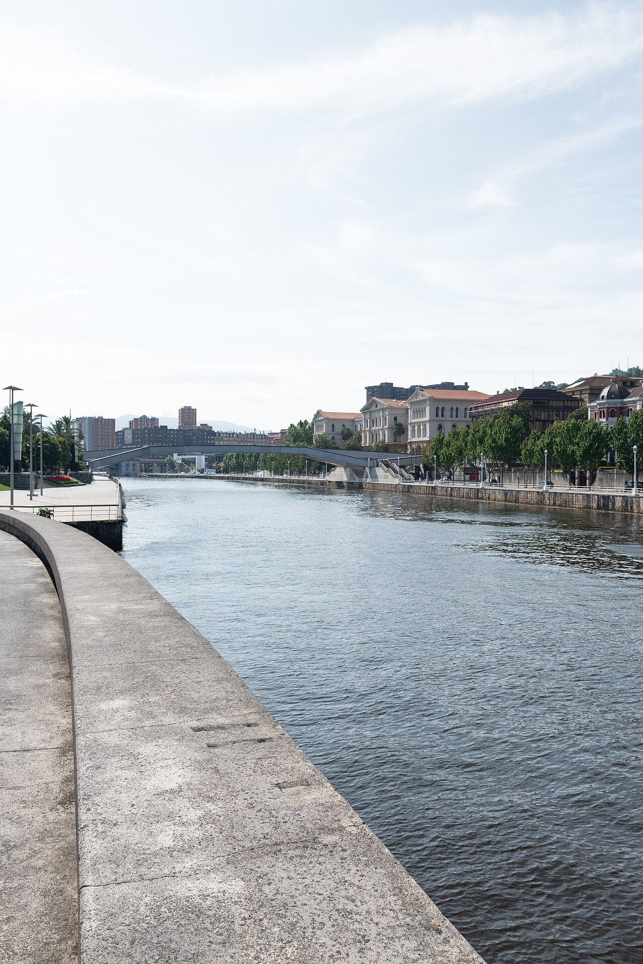
Beyond the Euskalduna bridge large ships can no longer pass upstream. Opposite, the long strip of Zorrotzaurre became an island when the Deusto canal was opened along its full length on 8 October 2018, and it is now the city's last big regeneration project.
Down to the sea
Below the city the river divides the metropolitan area into its two banks: Barakaldo, Sestao, Portugalete and Santurtzi on the left, once the industrial and working-class side, and Erandio, Leioa and Getxo on the right, with the mansions of Neguri and Las Arenas. The difference between the two banks has faded as the towns grew together, but it can still be seen in the streets.
At the mouth, the Bizkaia Bridge carries its hanging gondola between Portugalete and Getxo, the best place to see where the Ría becomes the sea. The Metro runs down the right bank to Getxo and the commuter trains down the left to Portugalete; see getting around.
Honest notes
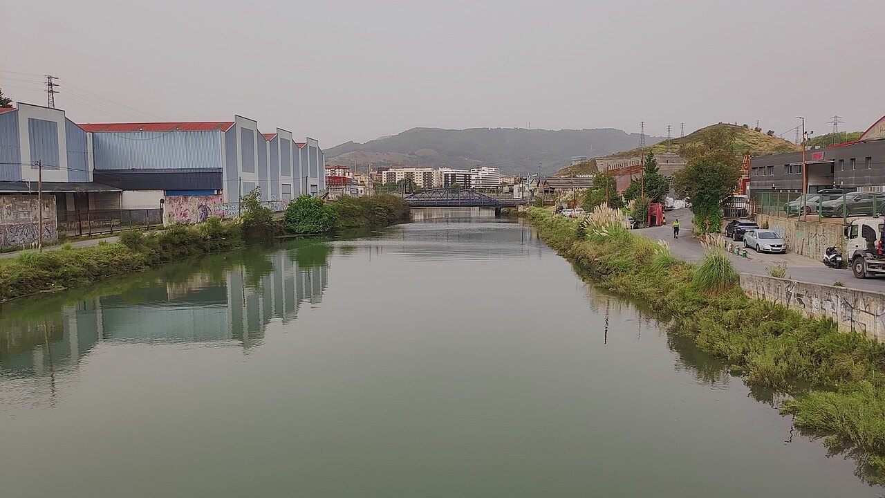
The river is cleaner than it has been for a century, but it is still a working estuary, tidal and brown after rain, not a river for swimming. The best way to know it is on foot along the walks in the center, and by train to the mouth.
Nearby
Where to go next
- Nearby · Abando · left bankThe GuggenheimFrank Gehry's museum of modern and contemporary art, a cluster of titanium curves on the left bank of the Ría, opened in 1997 on what had been the run-down edge of the city's port.Read the page →
- Nearby · Campo Volantín · UribitarteZubizuriSantiago Calatrava's white footbridge of 1997, a curved deck hung on cables from a single tilted arch, which carries the walk from the right bank to the museum side of the river.Read the page →
- Nearby · Portugalete · GetxoThe Bizkaia BridgeThe world's first transporter bridge, opened in 1893 across the mouth of the Ría: a gondola hung from a high iron girder still carries cars and people between Portugalete and Las Arenas, day and night.Read the page →