Which are the original Seven Streets of the Casco Viejo?
WHERE BILBAO BEGAN
The seven medieval streets that gave Bilbao's old town its name, and what to look for on each one today.
Read on
The answer in full
Seven streets, one slope
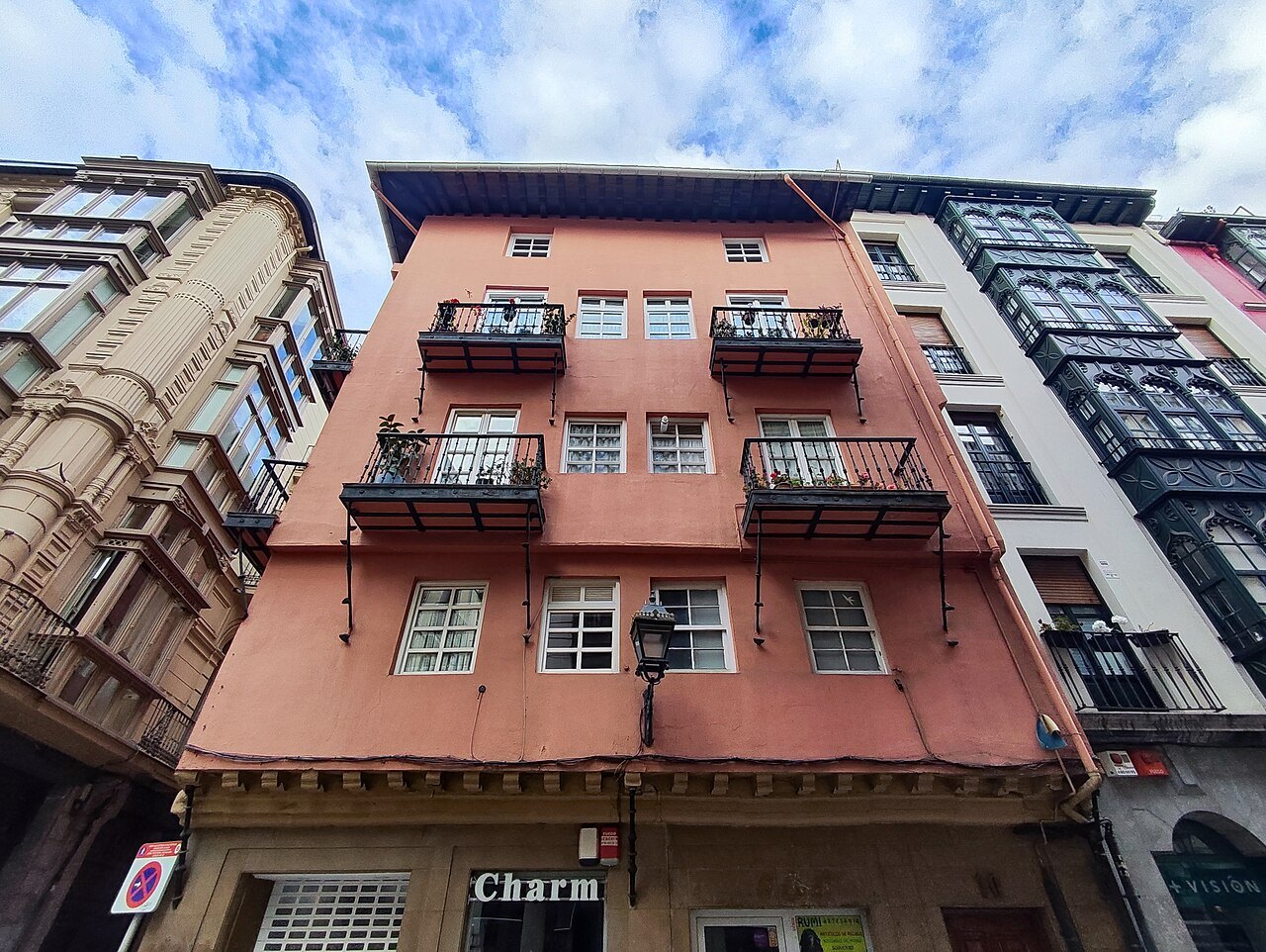
The Casco Viejo takes its Basque name, Zazpikaleak, and its Spanish one, Las Siete Calles, from seven parallel lanes that made up the medieval town on the right bank of the Ría. It now sits inside the Ibaiondo district, though almost everyone still calls it the Casco Viejo. In a few hundred yards it holds the cathedral, three churches, a market and a museum.
From the top of the slope down to the river, the seven streets are Somera, Artekale, Tendería, Belostikale, Carnicería Vieja, Barrenkale and Barrenkale Barrena. They run roughly parallel, linked by short cross lanes, and their names appear on the street plates in both Basque and Spanish. Walking down through them, from Somera to Barrenkale Barrena, is in effect a walk from the edge of the medieval town to its river frontage.
Somera, also known as Goienkale, the upper street, marked that edge. The town wall, about six meters high, was built into the backs of its houses, and in the Middle Ages the street held stables, shops and inns for travelers arriving from inland. Today it is a street of bars and small restaurants and one of the better streets for an evening walk, once the lanes below have filled.
A charter and a river crossing
In 1300 Diego López V de Haro, Lord of Biscay, granted a charter to the settlers on this bank of the river, formalizing a town that had grown up around a warehouse for river goods already standing beside the crossing. That crossing, not the slope or the walls, was the reason the town existed at all.
For centuries the bridge of San Antón was the only bridge over the Ría, the obligatory crossing for trade between Biscay and Castile. The people of Bilbao fought in the courts, and at times by other means, to stop any rival bridge being built elsewhere, since the crossing was the source of the town's income and standing.
In 1334 King Alfonso XI added a fortress and a defensive wall on the riverbank, which doubled as a barrier against floods. Its foundations, found in excavations in 2002, can still be seen behind the altar of the church of San Antón, the clearest physical trace of the town's fourteenth-century defenses.
From fortress to church
The fortress did not last. It was pulled down to make way for a church, consecrated in 1433, and the building seen today replaced that one at the end of the fifteenth century. Its image, with the bridge in front, appears on the city's coat of arms, a reminder of how central the crossing was to Bilbao's identity.
The bridge itself has been rebuilt more than once: downstream in the 1870s, and again in 1937 after it was blown up during the Civil War. San Antón and its bridge sit at the river end of the seven streets, the natural place to start a walk up through the quarter toward the cathedral.
Behind San Antón the long front of the Ribera market runs along the quay, built where river trade once unloaded. Starting here and walking up through the seven streets gives the clearest sense of how the medieval town grew from the water's edge toward the hill behind it, where the rest of the quarter spreads out.
Up through the seven streets
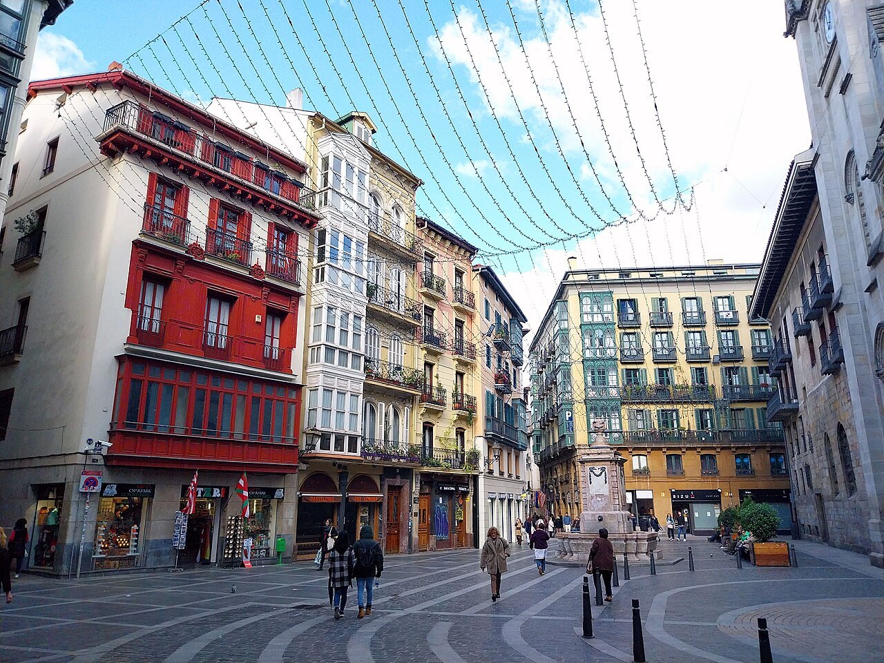
Crossing from one street to the next by the short lanes between them, the walk upward reaches the cathedral in its small square, fronted by the Paret fountain. Most of the buildings lining the way are four- and five-floor houses with wooden or glazed balconies, later additions to a street plan that is the oldest thing here.
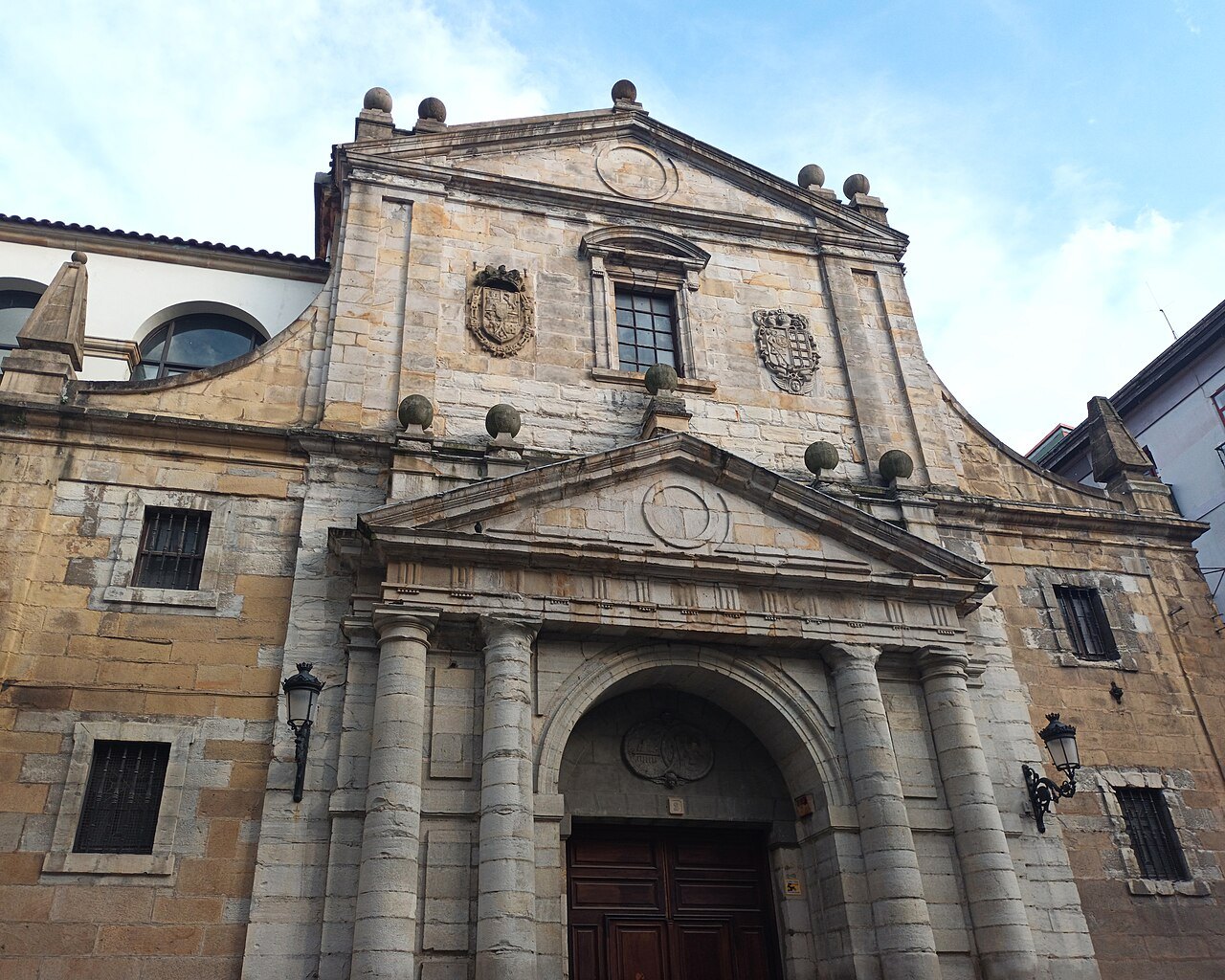
Further in, toward the top of the quarter, stand the Santos Juanes, a church built in a restrained Baroque style in the seventeenth century for the Jesuit college of San Andrés, and the Basque Museum, which opened in 1921 in the college's Baroque cloister. The museum covers the archaeology of Biscay and the everyday life of the Basque Country.
Both stand on the Plaza Miguel de Unamuno, at the top of the Casco Viejo, a useful point for orienting between the streets below and the rest of the district above. The square marks the inland limit of the medieval town, as the river marked its other edge, at the opposite end of the seven streets.
On the river side
The church of San Nicolás, built in 1756, faces the Teatro Arriaga across a small square. It began as a chapel serving the fishermen's quarter that stood outside the medieval walls, a reminder that Bilbao's population always spilled beyond the seven streets themselves, into the settlements that grew up along the riverbank.
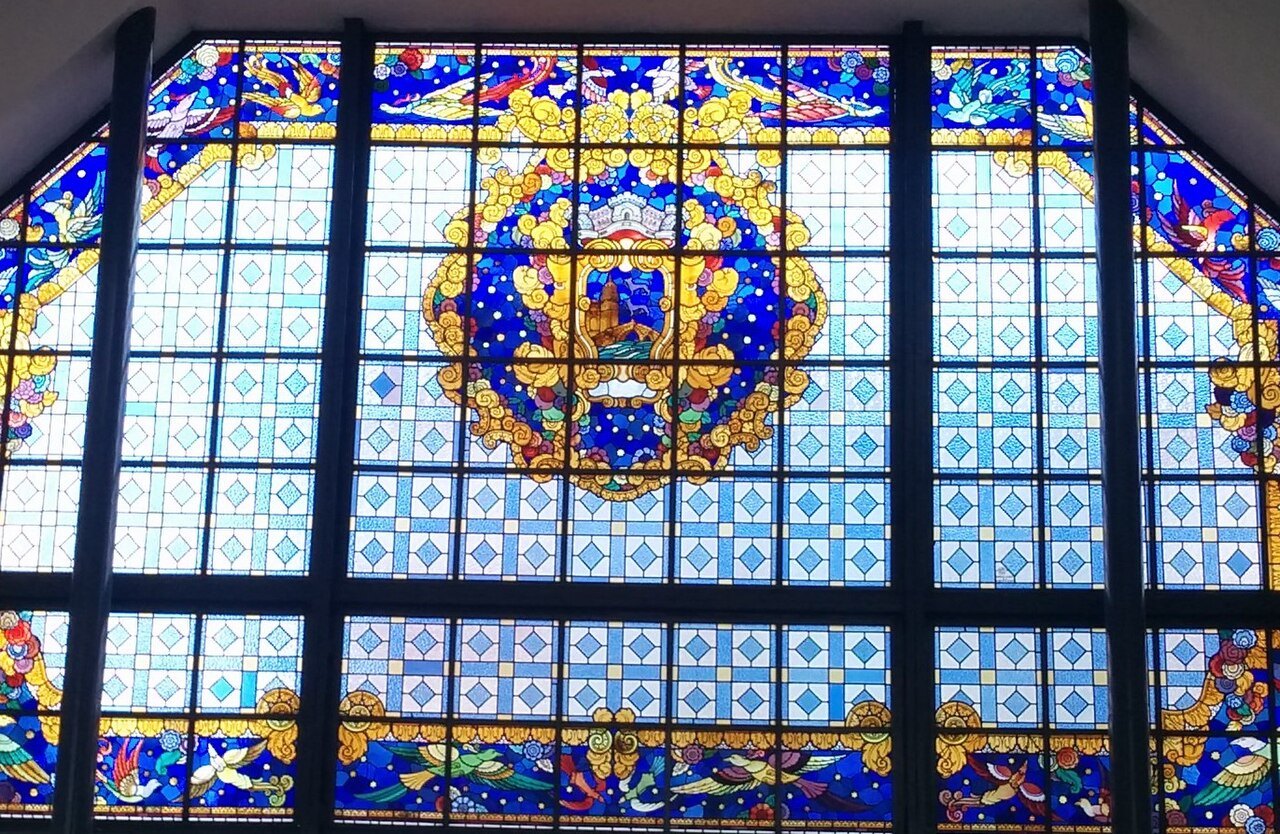
Between the church and the theater, on Bidebarrieta, the municipal library occupies an eclectic building put up between 1888 and 1890. It was built as the club of a society founded in honor of the town's defenders in the Carlist Wars, one of several nineteenth-century additions fitted into the old plan.
Together these buildings, old and newer, make the river side of the Casco Viejo as much worth a slow look as the seven streets themselves, and a natural point to pause before or after crossing into the Plaza Nueva close by, one of the quarter's most recognizable squares and a short walk from the market and the cathedral.
The flood of 1983
On the twenty-sixth of August 1983, during the city's summer festival, days of heavy rain made the river burst its banks across the old town and much of the city center. The water rose to about five meters in places, and two people died, making it among the worst disasters in Bilbao's modern history.
The Casco Viejo, low on the riverbank, took much of the damage. San Antón lost most of its furnishings, the Bidebarrieta library closed for five years, and many ground-floor shops and bars had to be rebuilt from the floor up, a slow process that shaped the quarter visitors see today.
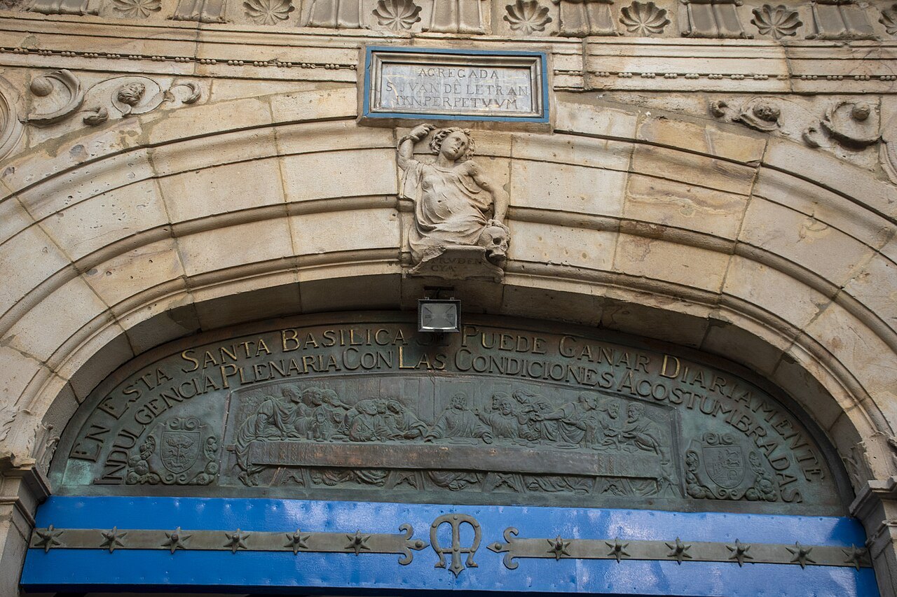
The flood is part of why so little of what visitors see dates from the Middle Ages beyond the street plan itself; repeated floods and fires across the quarter's history meant frequent rebuilding behind the same medieval lines, leaving the layout, not the buildings, as the oldest surviving feature of the Casco Viejo.
How to visit
The quarter is small and entirely walkable; allow half a day for the churches, the market and the museum, and an evening for the bars. Most lanes are pedestrian, paved, and slope gently toward the river, making the walk easy in either direction and suitable for most visitors on foot.
It is the best-connected part of the city. The Zazpikaleak/Casco Viejo station is the only stop where all three Metro lines meet, and the riverside tram stops at Arriaga, Ribera and Atxuri. From the Ensanche it is a short walk across the Arenal bridge; see getting around for how the Metro and tram work.
The streets are busiest at the end of the working day and on weekend evenings, when the bars fill and people stand outside them. Churches keep their own visiting hours and close to visitors during services, so check with each one directly; weekday mornings, before the bars fill, tend to be quieter for seeing the architecture.
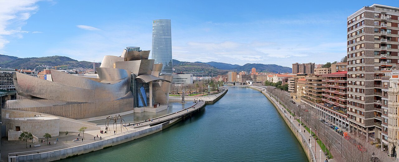
The seven streets are a medieval plan carrying nineteenth- and twentieth-century houses, much rebuilt after floods, so visitors should not expect a preserved medieval townscape. The name casco viejo is simply Spanish for old town and is used in many Spanish cities, so searching for Zazpikaleak or Siete Calles will find this one specifically.
More from the journal
Read next
- When to ComeWhat is Aste Nagusia, Bilbao's Great Week?Bilbao's main festival fills nine days after mid-August with concerts, fireworks over the river and the festival tents of the konpartsak along the Arenal. When it falls, how it began in 1978, what the txupinazo and Marijaia are, and how to plan a visit around it.Read the piece →
- Eating & DrinkingHow do pintxo bars in Bilbao work?In Bilbao people eat out standing at a bar counter, one or two pintxos and a small drink at a time, then on to the next bar. What a pintxo is, how it differs from a tapa, how to order and pay, what to drink with it, and the local specialities to look for.Read the piece →
- Getting HereHow do you get from Bilbao Airport to the city?Bilbao Airport is at Loiu, over the hills north of the city. The airport bus to the Plaza Elíptica and the Intermodal bus station, taxis, and the direct coaches to San Sebastián and Vitoria-Gasteiz, and how to choose between them by where you are staying.Read the piece →